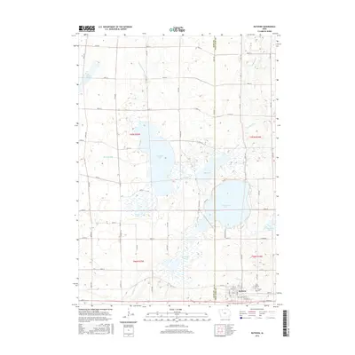
2015 Map of Ruthven
USGS Topo · Published 2015About this map
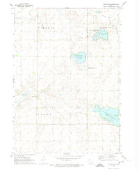
The settlement of Ruthven anchors the southeastern corner of this Iowa landscape, where the prairie grid meets a complex network of glacial lakes and wetlands. This area, straddling the line between Clay Co and Palo Alto Co, is defined by its expansive water bodies, including Lost Island Lake and Trumbull Lake. The township boundaries of t97n r35w and t96n r35w are crisscrossed by a systematic road network, though the natural hydrology of Dan Green Slough and Barringer Slough frequently interrupts the agricultural layout. For genealogists, the map identifies local landmarks such as Crown Hill Cem and Calvary Cem on the outskirts of the village. The drainage patterns of Pickerel Run and Ditch Number 61 reveal the ongoing management of this marshy terrain, which also includes protected habitats like Blue-Wing Marsh.
Find a feature on this map
54 named features on this map. Tap any name to fly to it.
Don’t see what you’re looking for? This feature index may not catch every label — zoom into the map to look around manually.
Map Details
Editions of this 2015 Ruthven Map
This is the sole edition of this map. No revisions or reprints were ever made.
Other maps of this area

1954 · Fairmont
USGS Topo · 1:250,000

1958 · Fairmont
USGS Topo · 1:250,000
1966 · Gillett Grove
USGS Topo · 1:24,000
1966 · Dickens
USGS Topo · 1:24,000
1970 · Spirit Lake SE
USGS Topo · 1:24,000
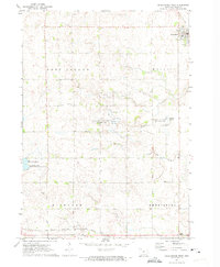
1972 · Graettinger West
USGS Topo · 1:24,000
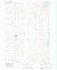
1972 · Terril
USGS Topo · 1:24,000
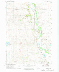
1972 · Wallingford
USGS Topo · 1:24,000
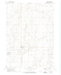
1972 · Ayrshire
USGS Topo · 1:24,000
1972 · Silver Lake
USGS Topo · 1:24,000