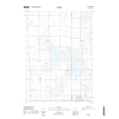
2018 Map of Ruthven
USGS Topo · Published 2018About this map
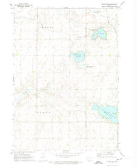
Ruthven sits at the intersection of a complex prairie pothole ecosystem and the grid of Palo Alto County. This 2018 survey illustrates the town's position between the extensive waters of Lost Island Lake and Barringer Slough, showcasing a landscape dominated by glacial depressions and managed wetlands. The town itself is clearly detailed with a street grid including Main ST and Old HWY 18, providing a clear view of the community's layout south of the major lake systems. Local heritage is marked by Hill Cem and Calvary Cem on the eastern edge of town.
Find a feature on this map
38 named features on this map. Tap any name to fly to it.
Don’t see what you’re looking for? This feature index may not catch every label — zoom into the map to look around manually.
Map Details
Editions of this 2018 Ruthven Map
This is the sole edition of this map. No revisions or reprints were ever made.
Other maps of this area

1954 · Fairmont
USGS Topo · 1:250,000

1958 · Fairmont
USGS Topo · 1:250,000
1966 · Gillett Grove
USGS Topo · 1:24,000
1966 · Dickens
USGS Topo · 1:24,000
1970 · Spirit Lake SE
USGS Topo · 1:24,000
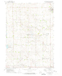
1972 · Graettinger West
USGS Topo · 1:24,000
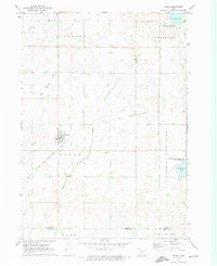
1972 · Terril
USGS Topo · 1:24,000
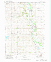
1972 · Wallingford
USGS Topo · 1:24,000
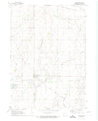
1972 · Ayrshire
USGS Topo · 1:24,000
1972 · Silver Lake
USGS Topo · 1:24,000