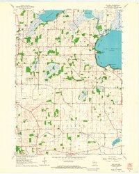
1961 Map of Rutland
USGS Topo · Published 1964About this map
The glacial waters of Lake Kegonsa and Lake Waubesa dominate this 1961 landscape south of Madison. The Yahara River and Oregon Branch weave through a terrain defined by extensive marshlands and small basins like Island Lake and Hook Lake. Local life is anchored by small rural centers such as Rutland and Stone, with educational foundations preserved at Oakside Sch and Lakeside Sch.
Find a feature on this map
35 named features on this map. Tap any name to fly to it.
Don’t see what you’re looking for? This feature index may not catch every label — zoom into the map to look around manually.
Map Details
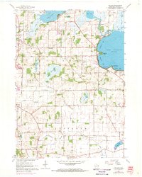
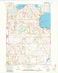
Editions of this 1961 Rutland Map
3 editions found
Other maps of this area

1889 · Evansville
USGS Topo · 1:62,500

1890 · Madison
USGS Topo · 1:62,500

1890 · Sun Prairie
USGS Topo · 1:62,500

1890 · Stoughton
USGS Topo · 1:62,500

1892 · Madison
USGS Topo · 1:62,500

1894 · Evansville
USGS Topo · 1:62,500

1896 · Sun Prairie
USGS Topo · 1:62,500

1904 · Madison
USGS Topo · 1:62,500

1905 · Sun Prairie
USGS Topo · 1:62,500

1906 · Evansville
USGS Topo · 1:62,500