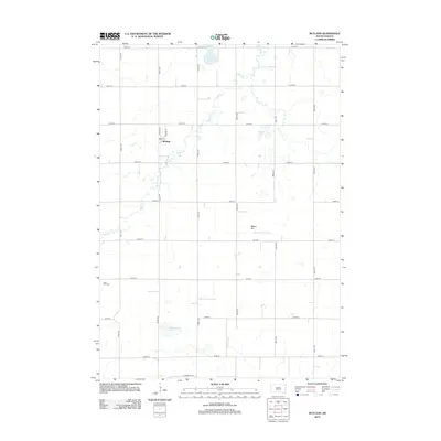
2012 Map of Rutland
USGS Topo · Published 2012About this map
Rutland stands as the primary hub of this eastern South Dakota landscape, organized around a rigid section-line road grid. The settlement is defined by Main St and School St, reflecting a classic prairie town layout where local infrastructure and community life converge. The surrounding geography is characterized by numerous glacial depressions and waterways, including the winding Battle Cr and Bachelor Cr.
Find a feature on this map
27 named features on this map. Tap any name to fly to it.
Don’t see what you’re looking for? This feature index may not catch every label — zoom into the map to look around manually.
Map Details
Editions of this 2012 Rutland Map
This is the sole edition of this map. No revisions or reprints were ever made.
Other maps of this area

1953 · Watertown
USGS Topo · 1:250,000

1955 · Sioux Falls
USGS Topo · 1:250,000

1958 · Sioux Falls
USGS Topo · 1:250,000

1958 · Watertown
USGS Topo · 1:250,000

1963 · Colman
USGS Topo · 1:24,000

1964 · Medary
USGS Topo · 1:24,000

1964 · Rutland SE
USGS Topo · 1:24,000

1968 · Lake Madison
USGS Topo · 1:24,000

1968 · Wentworth
USGS Topo · 1:24,000

1968 · Madison
USGS Topo · 1:24,000