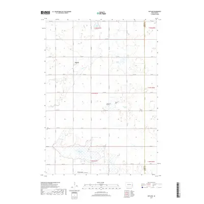
2017 Map of Rutland
USGS Topo · Published 2017About this map
Rutland sits near the northern edge of this Lake County landscape, positioned along Battle Cr within the prominent glacial upland known as the Coteau des Prairies. This plateau region is defined by its complex drainage and numerous water bodies, including Pelican Lake, Green Lake, and the sprawling Milwaukee Lake to the south near the town of Wentworth. The terrain rises to Macey Hill east of the central valley, overlooking the wetlands of Zimmerman Slough. Local history is anchored by the Lake Park Cem near the western boundary, while the surrounding sections are neatly divided by a grid of county highways and township roads, such as Co HWY 11 marking the border between Lake and Moody counties. The proximity of Bachelor Cr to the southern settlements suggests the importance of these small waterways in the development of this agricultural prairie.
Find a feature on this map
48 named features on this map. Tap any name to fly to it.
Don’t see what you’re looking for? This feature index may not catch every label — zoom into the map to look around manually.
Map Details
Editions of this 2017 Rutland Map
This is the sole edition of this map. No revisions or reprints were ever made.
Other maps of this area

1953 · Watertown
USGS Topo · 1:250,000

1955 · Sioux Falls
USGS Topo · 1:250,000

1958 · Sioux Falls
USGS Topo · 1:250,000

1958 · Watertown
USGS Topo · 1:250,000

1963 · Colman
USGS Topo · 1:24,000

1964 · Medary
USGS Topo · 1:24,000

1964 · Rutland SE
USGS Topo · 1:24,000

1968 · Lake Madison
USGS Topo · 1:24,000

1968 · Wentworth
USGS Topo · 1:24,000

1968 · Madison
USGS Topo · 1:24,000