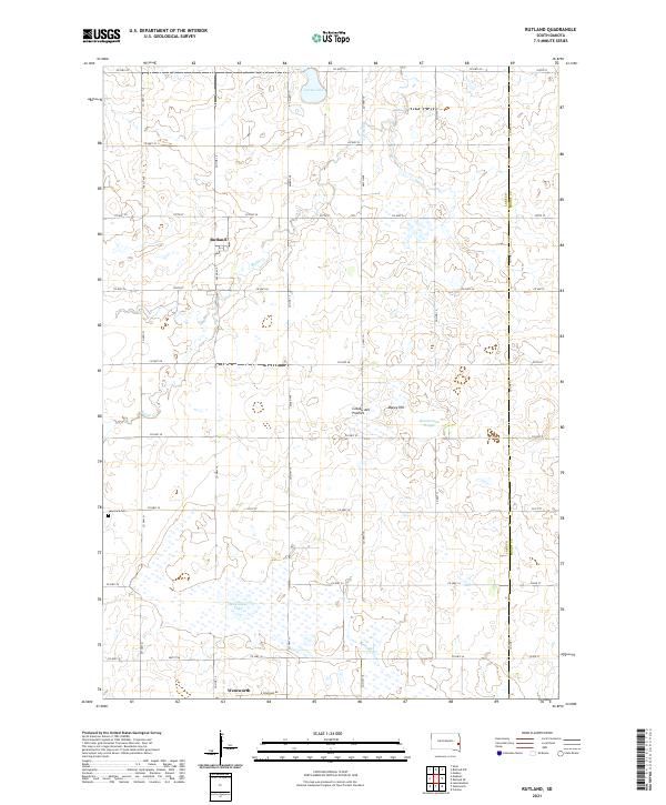
2021 Map of Rutland
USGS Topo · Published 2021About this map
Rutland and Wentworth anchor this section of eastern South Dakota, set within the distinctive glacial landscape of the Coteau des Prairies. The geography is defined by numerous depressions and wetlands typical of this upland plateau, including the expansive Milwaukee Lake and the marshy reaches of Zimmerman Slough. These water bodies, along with Green Lake, are vital components of the local drainage system fed by Battle Creek and Bachelor Creek.
Find a feature on this map
47 named features on this map. Tap any name to fly to it.
Don’t see what you’re looking for? This feature index may not catch every label — zoom into the map to look around manually.
Map Details
Editions of this 2021 Rutland Map
This is the sole edition of this map. No revisions or reprints were ever made.
Other maps of this area

1953 · Watertown
USGS Topo · 1:250,000

1955 · Sioux Falls
USGS Topo · 1:250,000

1958 · Sioux Falls
USGS Topo · 1:250,000

1958 · Watertown
USGS Topo · 1:250,000

1963 · Colman
USGS Topo · 1:24,000

1964 · Medary
USGS Topo · 1:24,000

1964 · Rutland SE
USGS Topo · 1:24,000

1968 · Lake Madison
USGS Topo · 1:24,000

1968 · Wentworth
USGS Topo · 1:24,000

1968 · Madison
USGS Topo · 1:24,000