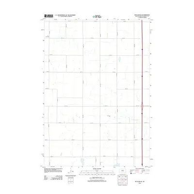
2012 Map of Rutland SE
USGS Topo · Published 2012About this map
The agrarian landscape of Clare Township in Moody County is meticulously recorded in this 2012 survey, revealing a rigid section-line grid of rural roads and scattered homesteads. Significant genealogical markers are preserved in the locations of Martinson Cem and Mount Auburn Cem, which serve as quiet anchors for the local farming community. The terrain is characterized by subtle drainage patterns and small depressions, with Mud Lake marking the southern boundary of the quadrangle. This map reflects a period where modern infrastructure, including the north-south interstate corridor, intersects with the traditional rural network of roads like Co Hwy O and Co Hwy M, illustrating the persistence of early prairie settlement patterns into the twenty-first century.
Find a feature on this map
20 named features on this map. Tap any name to fly to it.
Don’t see what you’re looking for? This feature index may not catch every label — zoom into the map to look around manually.
Map Details
Editions of this 2012 Rutland SE Map
This is the sole edition of this map. No revisions or reprints were ever made.
Other maps of this area

1953 · Watertown
USGS Topo · 1:250,000

1955 · Sioux Falls
USGS Topo · 1:250,000

1958 · Sioux Falls
USGS Topo · 1:250,000

1958 · Watertown
USGS Topo · 1:250,000

1963 · Trent
USGS Topo · 1:24,000

1963 · Colman
USGS Topo · 1:24,000

1964 · Medary
USGS Topo · 1:24,000

1964 · Rutland SE
USGS Topo · 1:24,000

1964 · Flandreau SW
USGS Topo · 1:24,000

1964 · Flandreau NW
USGS Topo · 1:24,000