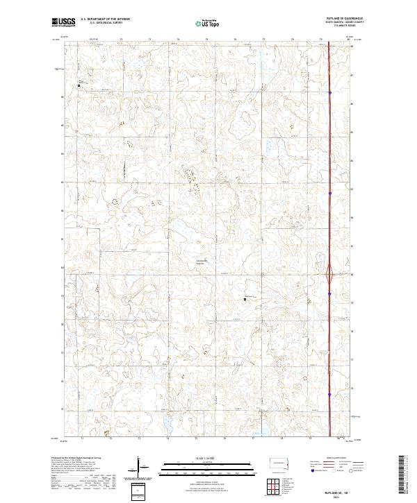
2021 Map of Rutland SE
USGS Topo · Published 2021About this map
Coteau des Prairies, the distinctive upland plateau of eastern South Dakota, dominates this landscape in southeastern Moody County. This section of the drift prairie is characterized by a high density of small wetlands and depressions, with Mud Lake serving as a prominent water feature in the southern portion of the quadrangle. The agricultural grid is well-established, defined by a network of rural routes including Co Hwy 77 and Co Hwy C. For genealogists and local historians, the presence of Mount Auburn Cem and Martinson Cem provides specific points of interest for tracing family roots in this rural community. The map illustrates the persistent 19th-century township-and-range organization, clearly marking boundaries like t107n r50w across the prairie terrain.
Find a feature on this map
30 named features on this map. Tap any name to fly to it.
Don’t see what you’re looking for? This feature index may not catch every label — zoom into the map to look around manually.
Map Details
Editions of this 2021 Rutland SE Map
This is the sole edition of this map. No revisions or reprints were ever made.
Other maps of this area

1953 · Watertown
USGS Topo · 1:250,000

1955 · Sioux Falls
USGS Topo · 1:250,000

1958 · Sioux Falls
USGS Topo · 1:250,000

1958 · Watertown
USGS Topo · 1:250,000

1963 · Trent
USGS Topo · 1:24,000

1963 · Colman
USGS Topo · 1:24,000

1964 · Medary
USGS Topo · 1:24,000

1964 · Rutland SE
USGS Topo · 1:24,000

1964 · Flandreau SW
USGS Topo · 1:24,000

1964 · Flandreau NW
USGS Topo · 1:24,000