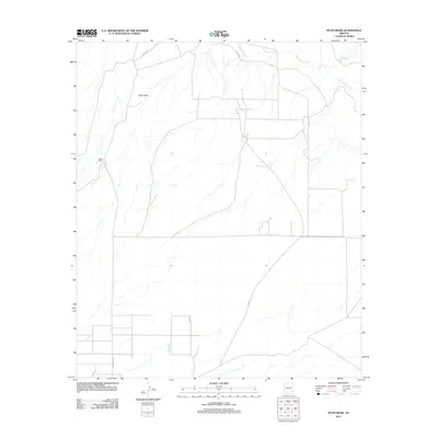
2011 Map of Ryan Draw
USGS Topo · Published 2011About this map
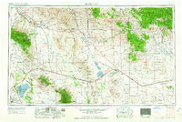
Ryan Draw defines the central topography of this section of Cochise County, where the seasonal drainage patterns of the high desert converge toward the San Simon River in the northeast. The landscape is marked by the infrastructure of ranching and water management, visible through features such as Charco Tank and New Pasture Tank. This 2011 survey illustrates a sparse settlement pattern typical of the region, where isolated outposts like Foote Ranch are connected by a network of rural routes including Hackel Rd and Fan Rd. The mapping of these ephemeral water sources and ranch holdings provides a clear view of how land use in this arid environment remains tied to the few available natural and man-made water catchments. Modern county infrastructure is represented by Graham Co Rd, which provides access to the southern reaches of the quadrangle.
Find a feature on this map
8 named features on this map. Tap any name to fly to it.
Don’t see what you’re looking for? This feature index may not catch every label — zoom into the map to look around manually.
Map Details
Editions of this 2011 Ryan Draw Map
This is the sole edition of this map. No revisions or reprints were ever made.
Other maps of this area
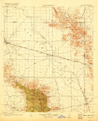
1917 · San Simon
USGS Topo · 1:125,000
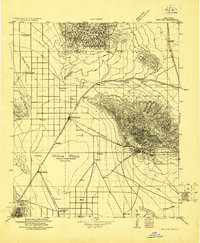
1922 · Willcox
USGS Topo · 1:125,000
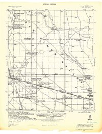
1928 · Bowie
USGS Topo · 1:62,500
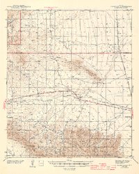
1944 · Fisher Hills
USGS Topo · 1:62,500
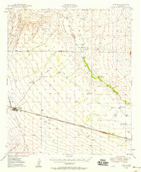
1949 · Bowie
USGS Topo · 1:62,500
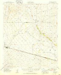
1950 · Bowie
USGS Topo · 1:62,500

1954 · Silver City
USGS Topo · 1:250,000
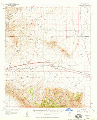
1957 · Luzena
USGS Topo · 1:62,500

1958 · Silver City
USGS Topo · 1:250,000
1962 · Silver City
USGS Topo · 1:250,000