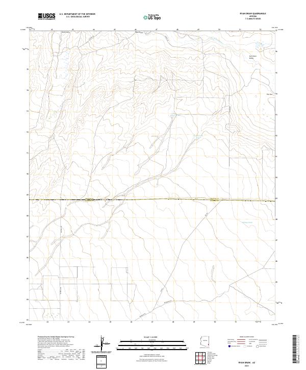
2021 Map of Ryan Draw
USGS Topo · Published 2021About this map
The San Simon Valley defines this arid landscape along the border of Graham and Cochise Counties, where drainage patterns shape the human footprint. The map reveals the hydrology of the high desert, centered on the San Simon River and several significant ephemeral channels like Ryan Draw, Gold Gulch, and Buckeye Wash. Ranching and land management are evident through the presence of specialized water features such as Charco Tank and New Pasture Tank, which are vital for maintaining livestock in this environment.
Find a feature on this map
18 named features on this map. Tap any name to fly to it.
Don’t see what you’re looking for? This feature index may not catch every label — zoom into the map to look around manually.
Map Details
Editions of this 2021 Ryan Draw Map
This is the sole edition of this map. No revisions or reprints were ever made.
Other maps of this area

1917 · San Simon
USGS Topo · 1:125,000

1922 · Willcox
USGS Topo · 1:125,000

1928 · Bowie
USGS Topo · 1:62,500

1944 · Fisher Hills
USGS Topo · 1:62,500

1949 · Bowie
USGS Topo · 1:62,500

1950 · Bowie
USGS Topo · 1:62,500

1954 · Silver City
USGS Topo · 1:250,000

1957 · Luzena
USGS Topo · 1:62,500

1958 · Silver City
USGS Topo · 1:250,000

1962 · Silver City
USGS Topo · 1:250,000