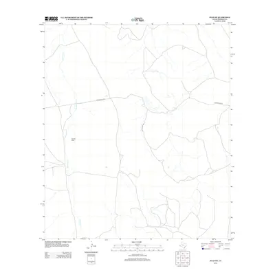
2012 Map of Ryan SW
USGS Topo · Published 2012About this map
Wild Horse Cr defines the drainage of this arid West Texas landscape, flowing south through Presidio County. This 2012 survey illustrates the sparse infrastructure of the high desert, where topographic variations are most evident along Capote Draw. The area is characterized by vast open spaces with minimal human development, as evidenced by the limited road network. Only Richards Gate Rd provides significant access through the central and western portions of the quadrangle. This documentation of the terrain and watercourses captures the region's essential character before any contemporary shifts in ranching or land use altered these remote corridors.
Find a feature on this map
3 named features on this map. Tap any name to fly to it.
Don’t see what you’re looking for? This feature index may not catch every label — zoom into the map to look around manually.
Map Details
Editions of this 2012 Ryan SW Map
This is the sole edition of this map. No revisions or reprints were ever made.
Other maps of this area

1895 · Marfa
USGS Topo · 1:125,000

1896 · San Carlos
USGS Topo · 1:125,000

1959 · Marfa
USGS Topo · 1:250,000

1965 · Marfa
USGS Topo · 1:250,000
1978 · Capote Peak
USGS Topo · 1:24,000
1979 · Nancy Anne Ranch
USGS Topo · 1:24,000

1979 · Capote Falls
USGS Topo · 1:24,000
1983 · Ryan
USGS Topo · 1:24,000
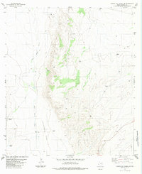
1983 · Cuesta Del Burro NW
USGS Topo · 1:24,000
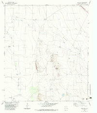
1983 · Deer Peak
USGS Topo · 1:24,000