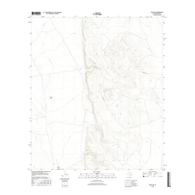
2016 Map of Ryan SW
USGS Topo · Published 2016About this map
Wild Horse Cr defines the drainage of this arid terrain in Presidio County, winding through the western portion of the map. This 2016 survey illustrates a high-desert landscape shaped by significant topographical relief, where seasonal watercourses like Capote Draw cut through the elevation changes. The single named thoroughfare, Richards Gate Rd, provides the primary access route across the rugged center of the quadrangle. For researchers or land owners, the map details the precise contouring and elevation benchmarks that characterize this part of West Texas. It reflects a modern land-use pattern where the vast majority of the territory remains open rangeland, marked only by these few vital roads and ephemeral stream beds.
Find a feature on this map
3 named features on this map. Tap any name to fly to it.
Don’t see what you’re looking for? This feature index may not catch every label — zoom into the map to look around manually.
Map Details
Editions of this 2016 Ryan SW Map
This is the sole edition of this map. No revisions or reprints were ever made.
Other maps of this area

1895 · Marfa
USGS Topo · 1:125,000

1896 · San Carlos
USGS Topo · 1:125,000

1959 · Marfa
USGS Topo · 1:250,000

1965 · Marfa
USGS Topo · 1:250,000
1978 · Capote Peak
USGS Topo · 1:24,000
1979 · Nancy Anne Ranch
USGS Topo · 1:24,000

1979 · Capote Falls
USGS Topo · 1:24,000
1983 · Ryan
USGS Topo · 1:24,000
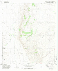
1983 · Cuesta Del Burro NW
USGS Topo · 1:24,000
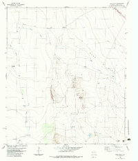
1983 · Deer Peak
USGS Topo · 1:24,000