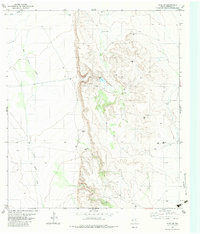
1983 Map of Ryan SW
USGS Topo · Published 1983About this map
Water distribution and ranching infrastructure define this high-desert landscape of the Trans-Pecos in the early 1980s. The terrain is dominated by the seasonal paths of Wild Horse Draw and Perry Draw, which funnel runoff toward man-made collection points and vital groundwater sources. Strategic improvements such as Canyon Dam, Mule Tank, and Fortina Tank illustrate the efforts to sustain livestock in an arid climate.
Find a feature on this map
19 named features on this map. Tap any name to fly to it.
Don’t see what you’re looking for? This feature index may not catch every label — zoom into the map to look around manually.
Map Details
Editions of this 1983 Ryan SW Map
This is the sole edition of this map. No revisions or reprints were ever made.
Other maps of this area

1895 · Marfa
USGS Topo · 1:125,000

1896 · San Carlos
USGS Topo · 1:125,000

1959 · Marfa
USGS Topo · 1:250,000

1965 · Marfa
USGS Topo · 1:250,000
1978 · Capote Peak
USGS Topo · 1:24,000
1979 · Nancy Anne Ranch
USGS Topo · 1:24,000

1979 · Capote Falls
USGS Topo · 1:24,000
1983 · Ryan
USGS Topo · 1:24,000
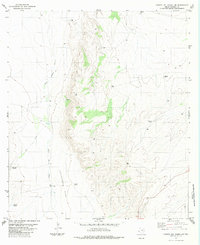
1983 · Cuesta Del Burro NW
USGS Topo · 1:24,000
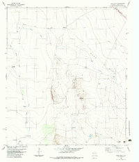
1983 · Deer Peak
USGS Topo · 1:24,000