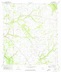
1972 Map of Rye
USGS Topo · Published 1974About this map
Manatee River drainage systems define this section of Florida's interior during the early 1970s. Small, dispersed settlements like Manhattan and Rye anchor the landscape, though much of the area remains dominated by natural watercourses such as Gamble Creek, Tyre Creek, and Gilley Creek. The map reveals a transition from traditional land use toward modern infrastructure, evidenced by an Old Railroad Grade and an extensive Pipeline network cutting through the terrain.
Find a feature on this map
22 named features on this map. Tap any name to fly to it.
Don’t see what you’re looking for? This feature index may not catch every label — zoom into the map to look around manually.
Map Details
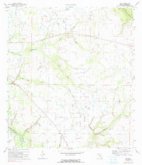
Editions of this 1972 Rye Map
2 editions found
Other maps of this area

1944 · Ruskin
USGS Topo · 1:31,680

1944 · Rye
USGS Topo · 1:31,680

1944 · Wimauma
USGS Topo · 1:31,680

1944 · Verna
USGS Topo · 1:31,680

1944 · Lorraine
USGS Topo · 1:31,680

1944 · Parish
USGS Topo · 1:31,680

1947 · Ruskin
USGS Topo · 1:25,000

1947 · Wimauma
USGS Topo · 1:25,000

1956 · Myakka City NW
USGS Topo · 1:24,000

1956 · Ft Lonesome
USGS Topo · 1:24,000