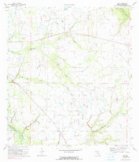
1972 Map of Rye
USGS Topo · Published 1990About this map
The Manatee River and its intricate drainage network define this inland portion of Manatee County in the early 1970s. Small rural settlements like Rye and Manhattan are visible along the riverbanks and creeks, while Oak Knoll sits further east. The landscape is a mixture of wetlands and drier elevations, notably the Sand Prairie in the northwest corner. Waterways such as Gamble Creek and Harvey Prong dominate the topography, illustrating the complex hydrology of the Florida peninsula before extensive modern development.
Find a feature on this map
19 named features on this map. Tap any name to fly to it.
Don’t see what you’re looking for? This feature index may not catch every label — zoom into the map to look around manually.
Map Details
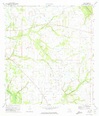
Editions of this 1972 Rye Map
2 editions found
Other maps of this area

1944 · Ruskin
USGS Topo · 1:31,680

1944 · Rye
USGS Topo · 1:31,680

1944 · Wimauma
USGS Topo · 1:31,680

1944 · Verna
USGS Topo · 1:31,680

1944 · Lorraine
USGS Topo · 1:31,680

1944 · Parish
USGS Topo · 1:31,680

1947 · Ruskin
USGS Topo · 1:25,000

1947 · Wimauma
USGS Topo · 1:25,000

1956 · Myakka City NW
USGS Topo · 1:24,000

1956 · Ft Lonesome
USGS Topo · 1:24,000