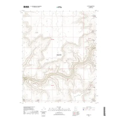
2018 Map of S B Point
USGS Topo · Published 2018About this map
Grand Canyon National Park dominates this section of the Arizona landscape, where the deeply carved path of the Colorado River defines the canyon's floor. This 2018 survey illustrates the complex verticality of the region, featuring prominent overlooks such as S B Point and the sharp protrusion of Pocket Point. The map provides a detailed view of the tributary systems that feed the main corridor, including the winding depths of Havasu Canyon and National Canyon. Remote water sources like Little Joe Spring, Cock Spring, and Hotel Spring are noted, highlighting essential landmarks in this arid environment. The transition from high mesas like Sinyella Mesa and Dead Horse Mesa down to the river reveals the sheer scale of the canyon's geological layers. Unique formations such as Boysag Point Arch and The Cork serve as distinct navigational markers within the park’s northern boundaries.
Find a feature on this map
27 named features on this map. Tap any name to fly to it.
Don’t see what you’re looking for? This feature index may not catch every label — zoom into the map to look around manually.
Map Details
Editions of this 2018 S B Point Map
This is the sole edition of this map. No revisions or reprints were ever made.
Other maps of this area

1886 · Kaibab
USGS Topo · 1:250,000

1953 · Grand Canyon
USGS Topo · 1:250,000

1957 · Grand Canyon
USGS Topo · 1:250,000

1958 · Grand Canyon
USGS Topo · 1:250,000

1960 · Grand Canyon
USGS Topo · 1:250,000

1962 · Kanab Point
USGS Topo · 1:62,500

1962 · Tuckup Canyon
USGS Topo · 1:62,500

1962 · Supai
USGS Topo · 1:62,500

1962 · National Canyon
USGS Topo · 1:62,500

1984 · Grand Canyon
USGS Topo · 1:100,000