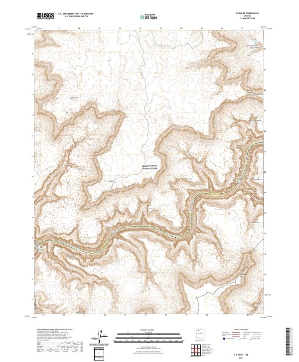
2021 Map of S B Point
USGS Topo · Published 2021About this map
Grand Canyon National Park encompasses this entire landscape, dominated by the deep incisions of the Colorado River and its tributary systems. The terrain is defined by dramatic elevation changes between high mesas like Sinyella Mesa and Yumtheska Mesa and the depths of Havasu Canyon and Hundred and Fifty Mile Canyon. Rare water sources such as Hotel Spring, Little Joe Spring, and Cock Spring are noted along the northern reaches of the canyon rim, indicating the critical nature of such features in this arid environment. The map records several named high points and geological curiosities, including the natural Boysag Point Arch, the isolated Hades Knoll, and the distinctive Flatiron Butte. Boundary lines for Mohave and Coconino counties meet near the confluence of the river and Havasu Canyon Trail, highlighting the geopolitical intersections within the park's wilderness.
Find a feature on this map
28 named features on this map. Tap any name to fly to it.
Don’t see what you’re looking for? This feature index may not catch every label — zoom into the map to look around manually.
Map Details
Editions of this 2021 S B Point Map
This is the sole edition of this map. No revisions or reprints were ever made.
Other maps of this area

1886 · Kaibab
USGS Topo · 1:250,000

1953 · Grand Canyon
USGS Topo · 1:250,000

1957 · Grand Canyon
USGS Topo · 1:250,000

1958 · Grand Canyon
USGS Topo · 1:250,000

1960 · Grand Canyon
USGS Topo · 1:250,000

1962 · Kanab Point
USGS Topo · 1:62,500

1962 · Tuckup Canyon
USGS Topo · 1:62,500

1962 · Supai
USGS Topo · 1:62,500

1962 · National Canyon
USGS Topo · 1:62,500

1984 · Grand Canyon
USGS Topo · 1:100,000