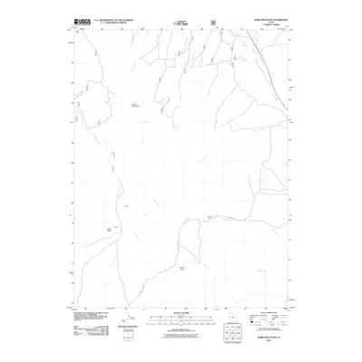
2011 Map of Sabie Mountain
USGS Topo · Published 2011About this map
Sabie Mountain dominates this portion of Tooele County, where a network of ephemeral watercourses and local ranching roads define the high desert character. The landscape is marked by topographic landmarks such as J Hill and the narrow passage of Devils Gate, which likely served as a natural focal point for movement through the area. Agricultural and ranching activity is evidenced by Dry Farm and the Summer Ranch, situated along the winding course of Death Creek. A series of drainages, including Sabie Creek, Brush Creek, and Devil Creek, converge in the valley below Horse Valley, illustrating the complex drainage patterns of this arid region. The presence of Cherry Creek Rd provides a primary transit link for local land use, connecting these remote points of interest.
Find a feature on this map
15 named features on this map. Tap any name to fly to it.
Don’t see what you’re looking for? This feature index may not catch every label — zoom into the map to look around manually.
Map Details
Editions of this 2011 Sabie Mountain Map
This is the sole edition of this map. No revisions or reprints were ever made.
Other maps of this area

1885 · Sevier Desert
USGS Topo · 1:250,000

1885 · Tooele Valley
USGS Topo · 1:250,000

1947 · Fivemile Pass
USGS Topo · 1:62,500

1947 · Boulter Peak
USGS Topo · 1:24,000

1953 · Tooele
USGS Topo · 1:250,000

1953 · Delta
USGS Topo · 1:250,000

1954 · Mc Intyre
USGS Topo · 1:24,000

1954 · Tintic Junction
USGS Topo · 1:24,000

1955 · Tooele
USGS Topo · 1:250,000

1958 · Delta
USGS Topo · 1:250,000