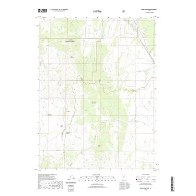
2020 Map of Sabie Mountain
USGS Topo · Published 2020About this map
Wasatch National Forest lands dominate the northern portion of this quadrangle, where the high point of Sabie Mountain rises above a network of canyons and springs. This high-desert terrain is defined by the West Tintic Mountains and the Sheeprock Mountains, separated by broad drainage basins like Horse Valley. The landscape is etched with seasonal watercourses including Death Creek and Cherry Creek, while reliable water sources such as Boulter Springs, Sabie Spring, and Maple Spring indicate the essential points for early transit and livestock in this arid environment. Infrastructure in this area is sparse, characterized primarily by the Tintic Pole Line Rd and the Transmission Line Rd running along the eastern boundary, while the Elkers Cutoff provides a passage through the southwestern foothills near Devils Gate. The map also clearly delineates the administrative boundary between Tooele Co and Juab Co.
Find a feature on this map
28 named features on this map. Tap any name to fly to it.
Don’t see what you’re looking for? This feature index may not catch every label — zoom into the map to look around manually.
Map Details
Editions of this 2020 Sabie Mountain Map
This is the sole edition of this map. No revisions or reprints were ever made.
Other maps of this area

1885 · Sevier Desert
USGS Topo · 1:250,000

1885 · Tooele Valley
USGS Topo · 1:250,000

1947 · Fivemile Pass
USGS Topo · 1:62,500

1947 · Boulter Peak
USGS Topo · 1:24,000

1953 · Tooele
USGS Topo · 1:250,000

1953 · Delta
USGS Topo · 1:250,000

1954 · Mc Intyre
USGS Topo · 1:24,000

1954 · Tintic Junction
USGS Topo · 1:24,000

1955 · Tooele
USGS Topo · 1:250,000

1958 · Delta
USGS Topo · 1:250,000