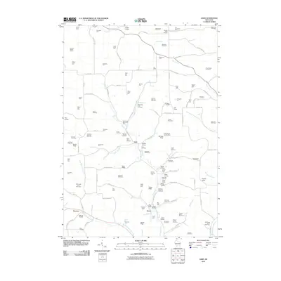
2010 Map of Sabin
USGS Topo · Published 2010About this map
Sabin and Bosstown anchor this agricultural landscape in Richland County, where the terrain is defined by a dense network of ridges and hollows. The map captures an area deeply rooted in traditional farming, evidenced by uniquely named homesteads such as Arbor Vitae Cottage Farm, Mountain Meadow Stock Farm, and Brookside Sheep Farm. This rural character is punctuated by several water management structures, including the Mill Creek 10 D-31.11 Dam and Barrett G-6253 Dam.
Find a feature on this map
126 named features on this map. Tap any name to fly to it.
Don’t see what you’re looking for? This feature index may not catch every label — zoom into the map to look around manually.
Map Details
Editions of this 2010 Sabin Map
This is the sole edition of this map. No revisions or reprints were ever made.
Other maps of this area

1905 · Richland Center
USGS Topo · 1:125,000

1926 · La Farge
USGS Topo · 1:62,500

1927 · Hillsboro
USGS Topo · 1:62,500

1933 · Boaz
USGS Topo · 1:62,500

1958 · La Crosse
USGS Topo · 1:250,000

1960 · Richland Center
USGS Topo · 1:62,500

1961 · La Crosse
USGS Topo · 1:250,000

1965 · La Crosse
USGS Topo · 1:250,000

1965 · La Farge
USGS Topo · 1:62,500

1966 · Hillsboro
USGS Topo · 1:62,500