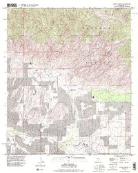
1992 Map of Sabino Canyon
USGS Topo · Published 1995About this map
Coronado National Forest dominates the northern half of this landscape, where the dramatic rise of the Santa Catalina Mountains is marked by landmarks like Thimble Peak and Rattlesnake Peak. The transition from the high desert floor to the Pusch Ridge Wilderness is defined by deep incisions like Sabino Canyon and Bear Canyon, where seasonal water flow is managed at Sabino Lake.
Find a feature on this map
63 named features on this map. Tap any name to fly to it.
Don’t see what you’re looking for? This feature index may not catch every label — zoom into the map to look around manually.
Map Details
Editions of this 1992 Sabino Canyon Map
2 editions found
Other maps of this area

1904 · Tucson
USGS Topo · 1:125,000

1905 · Tucson
USGS Topo · 1:125,000

1948 · Tucson
USGS Topo · 1:62,500

1956 · Tucson
USGS Topo · 1:250,000

1957 · Tucson East
USGS Topo · 1:24,000

1957 · Bellota Ranch
USGS Topo · 1:62,500

1957 · Tucson
USGS Topo · 1:24,000

1957 · Tucson
USGS Topo · 1:62,500

1957 · Rincon Valley
USGS Topo · 1:62,500

1957 · Sabino Canyon
USGS Topo · 1:24,000