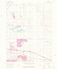
1965 Map of Sable
USGS Topo · Published 1973About this map
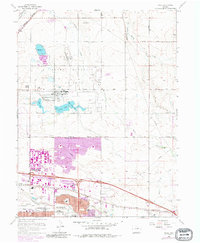
The Rocky Mountain Arsenal dominates the northern landscape of this map, showcasing a sprawling military installation characterized by several water bodies including Lake Mary, Ladora Lake, and Derby Lake. To the south, the mid-century expansion of Montbello and Aurora signals the rapid suburbanization of the high plains east of Denver. This growth is anchored by significant regional infrastructure, most notably the Stapleton International Airport and the Fitzsimons General Hospital campus.
Find a feature on this map
48 named features on this map. Tap any name to fly to it.
Don’t see what you’re looking for? This feature index may not catch every label — zoom into the map to look around manually.
Map Details
Editions of this 1965 Sable Map
7 editions found
Other maps of this area

1890 · East Denver
USGS Topo · 1:125,000

1935 · East Denver Nos. 3 and 4
USGS Topo · 1:48,000

1938 · Derby
USGS Topo · 1:24,000

1938 · Long Branch
USGS Topo · 1:24,000

1939 · Coal Creek
USGS Topo · 1:24,000

1940 · Brighton
USGS Topo · 1:31,680

1940 · Englewood
USGS Topo · 1:31,680

1940 · Eastlake
USGS Topo · 1:31,680

1940 · Derby
USGS Topo · 1:31,680

1941 · Long Branch
USGS Topo · 1:31,680