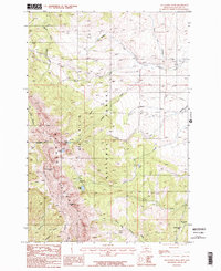
1987 Map of Sacagawea Peak
USGS Topo · Published 1987About this map
Sacagawea Peak and Hardscrabble Peak dominate the high ridgeline of the Bridger Range in this 1980s Gallatin County study. The terrain is defined by its dramatic elevation changes, where deep drainages like Corbly Gulch and Limestone Canyon cut through the western slopes. The eastern side of the range transitions into the Gallatin National Forest, characterized by high-alpine basins and small water bodies such as Fairy Lake and Ainger Lake. This era shows the developed recreation infrastructure of the national forest, including the Fairy Lake Campground and the Battle Ridge Campground situated near Battle Ridge Pass. The network of water sources, from South Fork Sixteenmile Creek in the north to North Fork Brackett Creek in the south, illustrates the complex hydrology of this part of the Montana Rockies before modern expansions altered the backcountry access routes.
Find a feature on this map
28 named features on this map. Tap any name to fly to it.
Don’t see what you’re looking for? This feature index may not catch every label — zoom into the map to look around manually.
Map Details
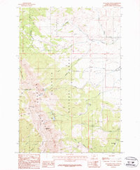
Editions of this 1987 Sacagawea Peak Map
2 editions found
Other maps of this area

1886 · Fort Logan
USGS Topo · 1:250,000

1886 · Little Belt Mts.
USGS Topo · 1:250,000

1888 · Three Forks
USGS Topo · 1:250,000

1891 · Livingston
USGS Topo · 1:250,000

1893 · Livingston
USGS Topo · 1:250,000

1894 · Three Forks
USGS Topo · 1:250,000

1894 · Little Belt Mts.
USGS Topo · 1:250,000

1895 · Three Forks
USGS Topo · 1:250,000

1897 · Little Belt Mts.
USGS Topo · 1:250,000

1898 · Little Belt Mts.
USGS Topo · 1:250,000