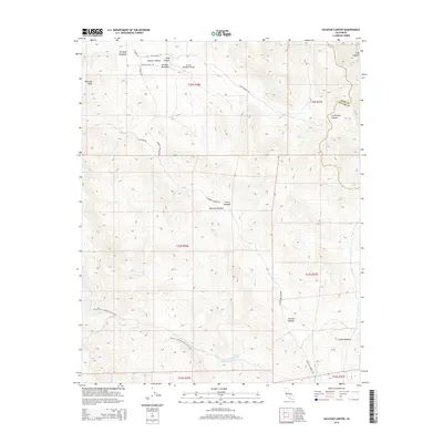
2015 Map of Sacatar Canyon
USGS Topo · Published 2015About this map
Kennedy Meadows and the high-elevation flats of the southeastern Sierra Nevada define this terrain, where modern recreational routes follow the paths of earlier mountain access. The Pacific Crest National Scenic Trail winds through the landscape, crossing paths with the historic Old Sacatar Trl and various ranching-related roads like Sacatar Ranch Rd. The presence of the Sacatar Meadows Airport near Sacatar Meadow highlights the remote accessibility of this area for aviation and land management. Water is sparse but critical, found at points such as Reinhardt Spring and along Chimney Cr. The map captures a high-country environment where meadows like Big Pine Meadow and Johnson Meadow remain central to the geography of the Tulare and Inyo county border.
Find a feature on this map
28 named features on this map. Tap any name to fly to it.
Don’t see what you’re looking for? This feature index may not catch every label — zoom into the map to look around manually.
Map Details
Editions of this 2015 Sacatar Canyon Map
This is the sole edition of this map. No revisions or reprints were ever made.
Other maps of this area

1905 · Olancha
USGS Topo · 1:125,000

1906 · Kernville
USGS Topo · 1:125,000

1907 · Olancha
USGS Topo · 1:125,000

1908 · Kernville
USGS Topo · 1:125,000

1908 · Ballarat
USGS Topo · 1:250,000

1913 · Ballarat
USGS Topo · 1:250,000

1915 · Searles Lake
USGS Topo · 1:250,000

1947 · Trona
USGS Topo · 1:250,000

1948 · Trona
USGS Topo · 1:250,000

1948 · Death Valley
USGS Topo · 1:250,000