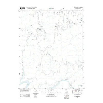
2012 Map of Sacate Ridge
USGS Topo · Published 2012About this map
The Kings River carves a deep path through this section of Fresno County, where the Kings River Powerhouse sits near the junction with Sycamore Springs Cr. This rugged landscape is defined by the steep elevation changes between the Kings River valley and the high Sacate Ridge. The presence of the Kings River Powerhouse and several established campsites like Kirch Flat Campground and Nutmeg Campground highlights the area's dual role in utility and recreation. Farther north, the terrain transitions into the Haslett Basin and Blue Canyon, accessible via a network of forest roads including Dinkey-Trimmer Rd. Significant landmarks like the Fence Meadow Lookout offer a perspective on the vast woodland management and fire oversight required for this remote section of the Sierra Nevada foothills during the early 21st century.
Find a feature on this map
67 named features on this map. Tap any name to fly to it.
Don’t see what you’re looking for? This feature index may not catch every label — zoom into the map to look around manually.
Map Details
Editions of this 2012 Sacate Ridge Map
This is the sole edition of this map. No revisions or reprints were ever made.
Other maps of this area

1904 · Kaiser
USGS Topo · 1:125,000

1922 · Trimmer
USGS Topo · 1:96,000

1924 · Dinuba
USGS Topo · 1:125,000

1942 · Watts Valley
USGS Topo · 1:62,500

1944 · Watts Valley
USGS Topo · 1:62,500

1947 · Mariposa
USGS Topo · 1:250,000

1948 · Fresno
USGS Topo · 1:250,000

1948 · Mariposa
USGS Topo · 1:250,000

1952 · Patterson Mountain
USGS Topo · 1:62,500

1953 · Huntington Lake
USGS Topo · 1:62,500