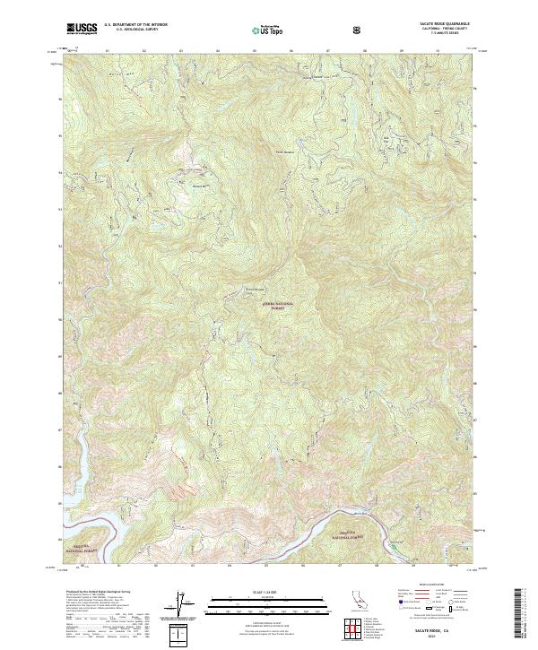
2021 Map of Sacate Ridge
USGS Topo · Published 2021About this map
Kings River flows through the southern reach of this Fresno County landscape, marking a transition point between the Sierra National Forest and Sequoia National Forest. The map documents a rugged high-country terrain defined by steep ridges and deep drainages, where human presence is mostly limited to forest management sites and seasonal camps like Kirch Flat and Oak Flat. High points such as Barnes Mtn and Sacate Ridge overlook a complex watershed including Dinkey Cr and Nutmeg Cr. Significant forest infrastructure is noted, including the Fence Meadow Lookout and various historic transport routes such as the Dinkey-Trimmer road and the Haslett Cutoff. The southwestern corner is touched by the waters of Pine Flat Lake, indicating the role of this drainage in the regional water system of the Sierra Nevada.
Find a feature on this map
40 named features on this map. Tap any name to fly to it.
Don’t see what you’re looking for? This feature index may not catch every label — zoom into the map to look around manually.
Map Details
Editions of this 2021 Sacate Ridge Map
This is the sole edition of this map. No revisions or reprints were ever made.
Other maps of this area

1904 · Kaiser
USGS Topo · 1:125,000

1922 · Trimmer
USGS Topo · 1:96,000

1924 · Dinuba
USGS Topo · 1:125,000

1942 · Watts Valley
USGS Topo · 1:62,500

1944 · Watts Valley
USGS Topo · 1:62,500

1947 · Mariposa
USGS Topo · 1:250,000

1948 · Fresno
USGS Topo · 1:250,000

1948 · Mariposa
USGS Topo · 1:250,000

1952 · Patterson Mountain
USGS Topo · 1:62,500

1953 · Huntington Lake
USGS Topo · 1:62,500