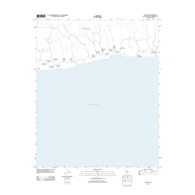
2012 Map of Sacate
USGS Topo · Published 2012About this map
The Santa Ynez Mountains drop sharply toward the Gaviota Coast, creating a series of deep coastal canyons defined by their seasonal drainage into the Pacific Ocean. This stretch of the California shoreline is marked by early settlements and coastal holdings like the Santa Anita Ranch, San Augustine, and Sacate, which lie along the historic rail corridor tracing the bluff's edge. The landscape is deeply incised by numerous cañadas, including Cañada De Santa Anita and Cañada De La Cuarta, reflecting the region's Spanish land grant heritage. The mapping detail shows the spatial relationship between these isolated coastal outposts and the rugged upland terrain, providing a look at the rural character of the county's western coastline before more modern development reached these remote canyons.
Find a feature on this map
21 named features on this map. Tap any name to fly to it.
Don’t see what you’re looking for? This feature index may not catch every label — zoom into the map to look around manually.
Map Details
Editions of this 2012 Sacate Map
This is the sole edition of this map. No revisions or reprints were ever made.
Other maps of this area

1905 · Lompoc
USGS Topo · 1:125,000

1942 · Lompoc
USGS Topo · 1:125,000

1942 · Lompoc
USGS Topo · 1:62,500

1942 · Pt. Conception
USGS Topo · 1:62,500

1942 · Gaviota
USGS Topo · 1:62,500

1942 · Los Olivos
USGS Topo · 1:62,500

1943 · Los Olivos
USGS Topo · 1:62,500

1943 · Lompoc
USGS Topo · 1:125,000

1943 · Gaviota
USGS Topo · 1:62,500

1947 · Gaviota
USGS Topo · 1:62,500