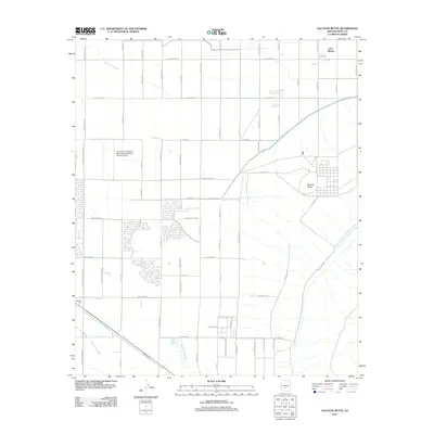
2011 Map of Sacaton Butte
USGS Topo · Published 2011About this map
The settlement of Casa Blanca and the distinctive geological prominence of Sacaton Butte anchor this desert landscape in Pinal County. This 2011 survey illustrates a region where agricultural industry and institutional research intersect, evidenced by the University of Arizona Maricopa Agricultural Center Airport and the presence of the Papago Gin. The terrain is defined by the ephemeral drainage patterns of the Santa Cruz Wash and Santa Rosa Wash, which traverse a grid of local and Indian Routes.
Find a feature on this map
59 named features on this map. Tap any name to fly to it.
Don’t see what you’re looking for? This feature index may not catch every label — zoom into the map to look around manually.
Map Details
Editions of this 2011 Sacaton Butte Map
This is the sole edition of this map. No revisions or reprints were ever made.
Other maps of this area

1913 · Maricopa
USGS Topo · 1:62,500

1914 · Gila Butte
USGS Topo · 1:62,500

1915 · Maricopa
USGS Topo · 1:62,500

1917 · Gila Butte
USGS Topo · 1:62,500

1922 · Casa Grande
USGS Topo · 1:62,500

1924 · Casa Grande
USGS Topo · 1:62,500

1946 · Antelope Peak
USGS Topo · 1:62,500

1948 · Antelope Peak
USGS Topo · 1:62,500

1952 · Gila Butte SE
USGS Topo · 1:24,000

1952 · Maricopa
USGS Topo · 1:24,000