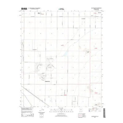
2014 Map of Sacaton Butte
USGS Topo · Published 2014About this map
Maricopa serves as a focal point for this desert landscape, exhibiting a grid of residential streets such as W Amalfi Ave and W Sorrento Blvd that contrast with the surrounding agricultural and tribal lands. North of the city, the U of A Maricopa Ag Center Airport marks a site of regional research and aviation. The map documents several established communities, including Sacate Village, Casa Blanca, and Bapchule, which are linked by long-established routes like W Casa Blanca Rd. The terrain is defined by the ephemeral drainage of the Santa Cruz Wash and the prominent rising elevation of Sacaton Butte. To the southeast, the foothills of the Sacaton Mountains emerge from the flat desert floor, illustrating the geological transition between the valley and the mountain range.
Find a feature on this map
62 named features on this map. Tap any name to fly to it.
Don’t see what you’re looking for? This feature index may not catch every label — zoom into the map to look around manually.
Map Details
Editions of this 2014 Sacaton Butte Map
This is the sole edition of this map. No revisions or reprints were ever made.
Other maps of this area

1913 · Maricopa
USGS Topo · 1:62,500

1914 · Gila Butte
USGS Topo · 1:62,500

1915 · Maricopa
USGS Topo · 1:62,500

1917 · Gila Butte
USGS Topo · 1:62,500

1922 · Casa Grande
USGS Topo · 1:62,500

1924 · Casa Grande
USGS Topo · 1:62,500

1946 · Antelope Peak
USGS Topo · 1:62,500

1948 · Antelope Peak
USGS Topo · 1:62,500

1952 · Gila Butte SE
USGS Topo · 1:24,000

1952 · Maricopa
USGS Topo · 1:24,000