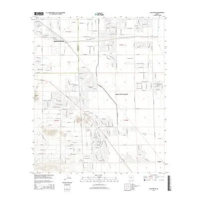
2014 Map of Sacaton NE
USGS Topo · Published 2014About this map
San Tan Valley and Queen Creek characterize this rapidly expanding corridor along the Maricopa and Pinal County line. The landscape is defined by a dense residential street grid extending south toward the rising slopes of Goldmine Mountain. The massive infrastructure of the Central Arizona Project Aqueduct cuts across the northeastern corner, illustrating the region's managed water supply. At the southwestern edge of the quadrangle, the small community of Magma sits near the base of the mountains, while aviation activity centers on Pegasus Airpark in the west. The map provides a detailed view of the suburban transition, showing how residential developments like those along Hayden Peak Drive integrate with the natural drainage of Queen Creek.
Find a feature on this map
185 named features on this map. Tap any name to fly to it.
Don’t see what you’re looking for? This feature index may not catch every label — zoom into the map to look around manually.
Map Details
Editions of this 2014 Sacaton NE Map
This is the sole edition of this map. No revisions or reprints were ever made.
Other maps of this area

1900 · Florence
USGS Topo · 1:125,000

1902 · Florence
USGS Topo · 1:125,000

1904 · Desert Well
USGS Topo · 1:62,500

1906 · Desert Well
USGS Topo · 1:62,500

1907 · Sacaton
USGS Topo · 1:62,500

1954 · Mesa
USGS Topo · 1:250,000

1956 · Sacaton NE
USGS Topo · 1:24,000

1956 · Magma
USGS Topo · 1:24,000
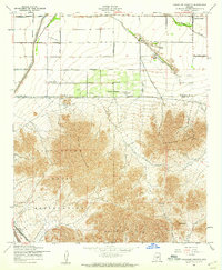
1956 · Chandler Heights
USGS Topo · 1:24,000

1956 · Desert Well
USGS Topo · 1:24,000