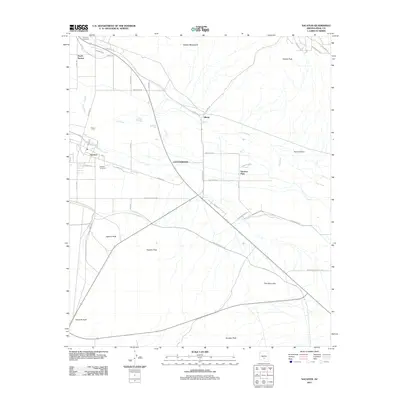
2011 Map of Sacaton
USGS Topo · Published 2011About this map
Sacaton and the surrounding Gila River Indian Community landscape are captured here in the early 21st century. The map details the central settlement and its nearby neighbors, including Olberg, South Santan, and Sacaton Flats, within a topography defined by desert peaks and irrigation infrastructure. The Gila River and the Little Gila Canal dominate the hydrology, while the prominent Santan Mountains rise to the north and numerous distinct summits like Sacaton Peak, Fivemile Peak, and Hayden Peak dot the southern terrain. This survey reflects the desert valley's road network, showing routes like Indian Rte-84 and Sacaton Rd that connect the community. For genealogists, the inclusion of Saint Ann Cemetery and Sacaton Cemetery provides vital location data for family history research within the Pinal County region.
Find a feature on this map
44 named features on this map. Tap any name to fly to it.
Don’t see what you’re looking for? This feature index may not catch every label — zoom into the map to look around manually.
Map Details
Editions of this 2011 Sacaton Map
This is the sole edition of this map. No revisions or reprints were ever made.
Other maps of this area
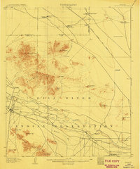
1907 · Sacaton
USGS Topo · 1:62,500
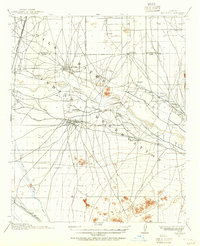
1914 · Gila Butte
USGS Topo · 1:62,500
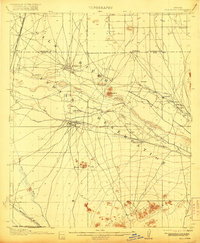
1917 · Gila Butte
USGS Topo · 1:62,500
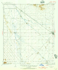
1922 · Casa Grande
USGS Topo · 1:62,500
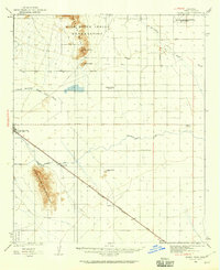
1922 · Signal Peak
USGS Topo · 1:62,500
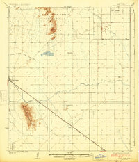
1924 · Signal Peak
USGS Topo · 1:62,500
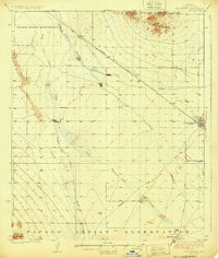
1924 · Casa Grande
USGS Topo · 1:62,500
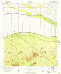
1952 · Gila Butte SE
USGS Topo · 1:24,000
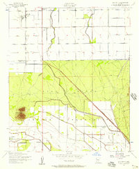
1952 · Gila Butte
USGS Topo · 1:24,000
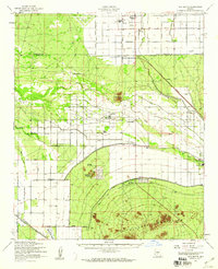
1952 · Gila Butte
USGS Topo · 1:62,500