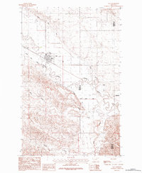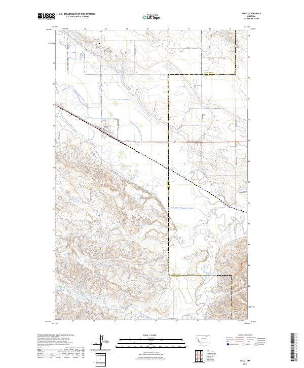
1905 Map of Saco
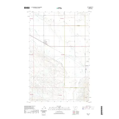
USGS Topo · Published 1957About this map
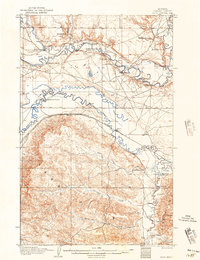
Saco stands as a vital rail hub along the Great Northern R. R. during the early twentieth century, where the railroad tracks track the winding course of Beaver Creek. The landscape is defined by the transition from the rugged Larb Hills in the south to the fertile valley of the Milk River, which carves a complex series of oxbows across the northern half of the territory. This era is characterized by an extensive network of family-held livestock operations, including Martins Ranch, Whitfords Ranch, and Taylors Ranch, each strategically positioned near water sources.
Find a feature on this map
39 named features on this map. Tap any name to fly to it.
Don’t see what you’re looking for? This feature index may not catch every label — zoom into the map to look around manually.
Map Details
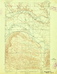
Editions of this 1905 Saco Map
2 editions found
Historical Maps of Saco Through Time
7 maps found