
1892 Map of Sacramento
USGS Topo · Published 1892About this map
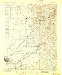
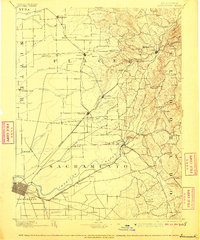
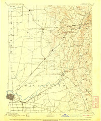
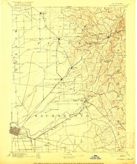
The Central Pacific Railroad defines the industrial landscape of the late nineteenth century, stretching through the core of this territory and connecting growing hubs like Roseville and Lincoln. This survey, conducted under director J.W. Powell, captures the transition from the flat agricultural lands near Sacramento and the American River to the foothills of the Sierra Nevada. To the east, the terrain becomes increasingly complex, marked by prominent landmarks such as Flagstaff Hill and Pilot Hill.
Find a feature on this map
103 named features on this map. Tap any name to fly to it.
Don’t see what you’re looking for? This feature index may not catch every label — zoom into the map to look around manually.
Map Details
Editions of this 1892 Sacramento Map
5 editions found
Other maps of this area

1888 · Marysville
USGS Topo · 1:125,000

1888 · Smartsville
USGS Topo · 1:125,000

1889 · Jackson
USGS Topo · 1:125,000

1891 · Sacramento
USGS Topo · 1:125,000

1891 · Colfax
USGS Topo · 1:125,000

1891 · Marysville
USGS Topo · 1:125,000

1891 · Smartsville
USGS Topo · 1:125,000

1891 · Placerville
USGS Topo · 1:125,000

1892 · Jackson
USGS Topo · 1:125,000

1892 · Placerville
USGS Topo · 1:125,000