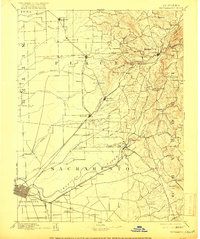
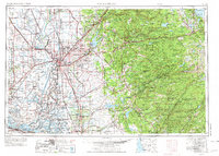
1957 Map of Sacramento
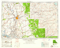
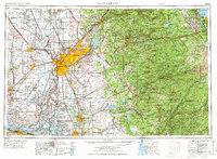
USGS Topo · Published 1969About this map
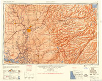
Sacramento serves as the central hub for this mid-century portrait of the Central Valley and the rising Sierra Nevada. The landscape is defined by the complex water management systems of the Sacramento River and American River, with the Yolo Bypass and Sutter Bypass visible as critical flood control infrastructure. The urban footprint of the era is clearly marked by major Cold War installations, including Mather Air Force Base, McClellan Air Force Base, and Travis Air Force Base, highlighting the region's strategic military importance.
Find a feature on this map
348 named features on this map. Tap any name to fly to it.
Don’t see what you’re looking for? This feature index may not catch every label — zoom into the map to look around manually.
Map Details
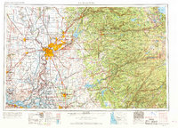
Editions of this 1957 Sacramento Map
4 editions found

Historical Maps of Sacramento Through Time
8 maps found