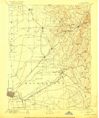
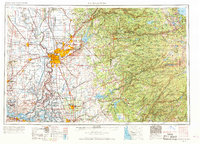
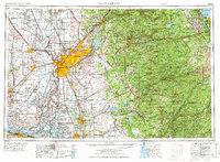
1957 Map of Sacramento
USGS Topo · Published 1972About this map
The Sacramento metropolitan area and the rising western slopes of the Sierra Nevada define this mid-century survey of the Central Valley. Heavy military and institutional investment is evident across the landscape, from the State Capitol and State Hospital to massive facilities like Mather Air Force Base, the Sacramento Army Depot, and the U S Army Primary Communication Station near Davis. The map captures the complex water management systems of the region, featuring the Folsom Lake State Recreation Area and the intricate network of levees and bypasses along the Sacramento River and American River.
Find a feature on this map
300 named features on this map. Tap any name to fly to it.
Don’t see what you’re looking for? This feature index may not catch every label — zoom into the map to look around manually.
Map Details
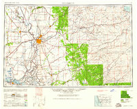
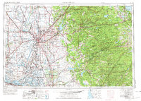
Editions of this 1957 Sacramento Map
4 editions found

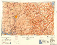
Historical Maps of Sacramento Through Time
8 maps found