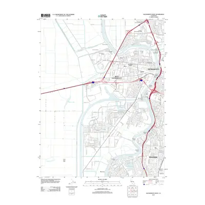
2012 Map of Sacramento West
USGS Topo · Published 2012About this map
The Sacramento River and its intricate system of bypasses and canals define this urban and industrial landscape just after the turn of the 21st century. The map highlights the complex water management required for the region, showing the Sacramento Weir, Sacramento Bypass, and the Sacramento River Deep Water Ship Channel leading to the Port of Sacramento. These engineered waterways sit alongside established neighborhoods like West Sacramento and historic districts in Sacramento.
Find a feature on this map
79 named features on this map. Tap any name to fly to it.
Don’t see what you’re looking for? This feature index may not catch every label — zoom into the map to look around manually.
Map Details
Editions of this 2012 Sacramento West Map
This is the sole edition of this map. No revisions or reprints were ever made.
Other maps of this area

1891 · Sacramento
USGS Topo · 1:125,000

1892 · Sacramento
USGS Topo · 1:125,000

1893 · Sacramento
USGS Topo · 1:125,000

1894 · Lodi
USGS Topo · 1:125,000

1902 · Fairoaks
USGS Topo · 1:62,500

1907 · Davisville
USGS Topo · 1:62,500

1908 · Courtland
USGS Topo · 1:62,500

1909 · Florin
USGS Topo · 1:31,680

1911 · Brighton
USGS Topo · 1:31,680

1911 · Arcade
USGS Topo · 1:31,680
Featured Places
- Sacramento, CA
- West Sacramento, CA
- Mikon, West Sacramento
- Lovdal, West Sacramento
- Broderick, West Sacramento