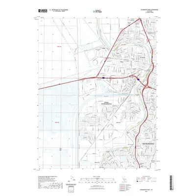
2022 Map of Sacramento West
USGS Topo · Published 2022About this map
Sacramento and West Sacramento are defined by the complex water engineering of the Central Valley, where the Sacramento River meets the American River at Sacramento Bend. This contemporary survey illustrates the massive infrastructure of the Sacramento River Deep Water Ship Channel and Lake Washington, which drive the region's maritime economy. The transition from dense urban street grids to the industrial and agricultural corridors of Yolo and Sacramento counties is clearly marked by the path of the Tule Canal and the Toe Drain to the west.
Find a feature on this map
52 named features on this map. Tap any name to fly to it.
Don’t see what you’re looking for? This feature index may not catch every label — zoom into the map to look around manually.
Map Details
Editions of this 2022 Sacramento West Map
This is the sole edition of this map. No revisions or reprints were ever made.
Other maps of this area

1891 · Sacramento
USGS Topo · 1:125,000

1892 · Sacramento
USGS Topo · 1:125,000

1893 · Sacramento
USGS Topo · 1:125,000

1894 · Lodi
USGS Topo · 1:125,000

1902 · Fairoaks
USGS Topo · 1:62,500

1907 · Davisville
USGS Topo · 1:62,500

1908 · Courtland
USGS Topo · 1:62,500

1909 · Florin
USGS Topo · 1:31,680

1911 · Brighton
USGS Topo · 1:31,680

1911 · Arcade
USGS Topo · 1:31,680
Featured Places
- Sacramento, CA
- West Sacramento, CA
- Mikon, West Sacramento
- Lovdal, West Sacramento
- Broderick, West Sacramento