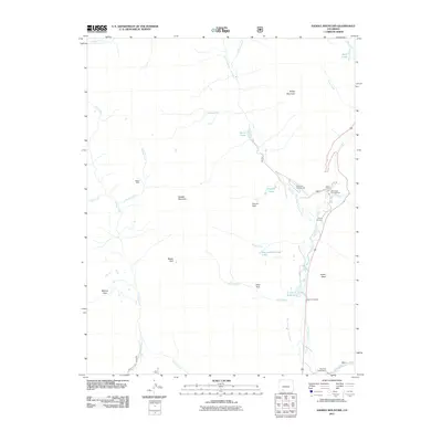
2011 Map of Saddle Mountain
USGS Topo · Published 2011About this map
The West Fork San Juan River carves through this high-elevation landscape in Mineral County, serving as a primary corridor for settlement and recreation. In the valley floor, the West Fork Ranch sits near the T Lazy T Reservoir, illustrating the area's reliance on managed water systems like the Snowball Ditch and Chapson Ditch. The presence of the McCoy Cemetery provides a rare genealogical anchor in this sparsely populated territory, while the isolated Blacks Mine near Omaha Creek points to historical mineral exploration.
Find a feature on this map
36 named features on this map. Tap any name to fly to it.
Don’t see what you’re looking for? This feature index may not catch every label — zoom into the map to look around manually.
Map Details
Editions of this 2011 Saddle Mountain Map
This is the sole edition of this map. No revisions or reprints were ever made.
Other maps of this area

1905 · San Cristobal
USGS Topo · 1:125,000

1907 · San Cristobal
USGS Topo · 1:125,000

1913 · Summitville
USGS Topo · 1:125,000

1914 · Creede
USGS Topo · 1:125,000

1915 · Summitville
USGS Topo · 1:125,000

1916 · Creede
USGS Topo · 1:125,000

1924 · Pagosa Springs
USGS Topo · 1:125,000

1927 · Pagosa Springs
USGS Topo · 1:125,000

1945 · Durango
USGS Topo · 1:250,000

1953 · Durango
USGS Topo · 1:250,000