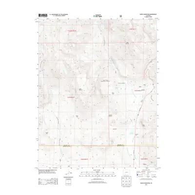
2013 Map of Saddle Mountain
USGS Topo · Published 2013About this map
The W Fork San Juan River carves through the heart of this high-country landscape, where the San Juan National Forest meets the boundary of Mineral and Archuleta counties. This 2013 survey documents a wilderness marked by recreational and agricultural infrastructure, from the West Fork Campground and Wolf Creek Campground to the private grounds of the West Fork Ranch. Distinctive high-elevation landmarks include the craggy heights of Saddle Mountain and Sliderock Mountain, overlooking smaller water bodies like Rod and Gun Club Lake and the T Lazy T Reservoir.
Find a feature on this map
47 named features on this map. Tap any name to fly to it.
Don’t see what you’re looking for? This feature index may not catch every label — zoom into the map to look around manually.
Map Details
Editions of this 2013 Saddle Mountain Map
This is the sole edition of this map. No revisions or reprints were ever made.
Other maps of this area

1905 · San Cristobal
USGS Topo · 1:125,000

1907 · San Cristobal
USGS Topo · 1:125,000

1913 · Summitville
USGS Topo · 1:125,000

1914 · Creede
USGS Topo · 1:125,000

1915 · Summitville
USGS Topo · 1:125,000

1916 · Creede
USGS Topo · 1:125,000

1924 · Pagosa Springs
USGS Topo · 1:125,000

1927 · Pagosa Springs
USGS Topo · 1:125,000

1945 · Durango
USGS Topo · 1:250,000

1953 · Durango
USGS Topo · 1:250,000