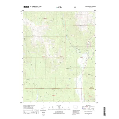
2019 Map of Saddle Mountain
USGS Topo · Published 2019About this map
The San Juan National Forest covers most of this terrain, where the headwaters of the W Fork San Juan River carve through high-elevation parks and peaks. In the eastern part of the quadrangle, water management and local recreation define the landscape, notably at Rod and Gun Club Lake and the T Lazy T Reservoir. Family and ranching history is marked by the McCoy Cem near the riverbanks, while agricultural water needs are evidenced by the Chapson Ditch and Snowball Ditch. The geography is anchored by prominent summits such as Saddle Mtn and Sliderock Mtn, which overlook significant openings in the forest like Poison Park and Sheep Park. This study captures the high-country landscape before major contemporary development, showing a network of creeks like Turkey Creek and Wolf Cr feeding into the main river systems.
Find a feature on this map
50 named features on this map. Tap any name to fly to it.
Don’t see what you’re looking for? This feature index may not catch every label — zoom into the map to look around manually.
Map Details
Editions of this 2019 Saddle Mountain Map
This is the sole edition of this map. No revisions or reprints were ever made.
Other maps of this area

1905 · San Cristobal
USGS Topo · 1:125,000

1907 · San Cristobal
USGS Topo · 1:125,000

1913 · Summitville
USGS Topo · 1:125,000

1914 · Creede
USGS Topo · 1:125,000

1915 · Summitville
USGS Topo · 1:125,000

1916 · Creede
USGS Topo · 1:125,000

1924 · Pagosa Springs
USGS Topo · 1:125,000

1927 · Pagosa Springs
USGS Topo · 1:125,000

1945 · Durango
USGS Topo · 1:250,000

1953 · Durango
USGS Topo · 1:250,000