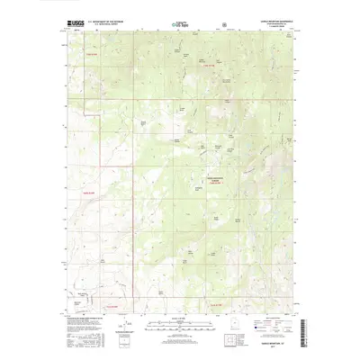
2017 Map of Saddle Mountain
USGS Topo · Published 2017About this map
Saddle Mountain and the high ridges of the Pine Valley Mountains dominate this landscape within the Dixie National Forest. The transition from the Mojave Desert into the mountainous uplands is marked by a complex network of canyons and springs, such as Maudsley Spring and Goat Spring. This terrain, defined by distinctive landmarks like Burger Peak and Truman Bench, was primarily accessible via historic paths including the Goat Spring Trail and Forsyth Trail.
Find a feature on this map
60 named features on this map. Tap any name to fly to it.
Don’t see what you’re looking for? This feature index may not catch every label — zoom into the map to look around manually.
Map Details
Editions of this 2017 Saddle Mountain Map
This is the sole edition of this map. No revisions or reprints were ever made.
Other maps of this area

1885 · St. George
USGS Topo · 1:250,000

1891 · St. George
USGS Topo · 1:250,000

1953 · Cedar City
USGS Topo · 1:250,000

1954 · La Verkin 3 NW
USGS Topo · 1:24,000

1954 · St. George
USGS Topo · 1:62,500

1954 · Hurricane
USGS Topo · 1:62,500

1956 · St. George NW
USGS Topo · 1:24,000

1956 · St. George NE
USGS Topo · 1:24,000

1957 · New Harmony
USGS Topo · 1:62,500

1958 · Cedar City
USGS Topo · 1:250,000