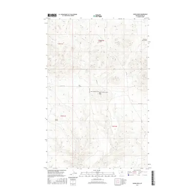
2017 Map of Saddle Rock
USGS Topo · Published 2017About this map
Saddle Rock serves as the eponymous landmark for this high plains area of Blaine County, where the landscape is defined by its dramatic coulees and traditional trail routes. The drainage patterns of the East Fork Black Coulee and West Fork Black Coulee converge to form the Black Coulee, carving through a terrain marked by isolated peaks like Snake Hill. Evidence of early movement across this northern Montana frontier is preserved through the Cow Island Trl, a historic route that once connected river steamships to inland settlements. Other seasonal waterways, including Volcano Cr and Bills Coulee, underscore the importance of water management in this arid region. Modern access remains focused along Lloyd Rd, reflecting a landscape that has maintained its open, ranching character into the twenty-first century.
Find a feature on this map
14 named features on this map. Tap any name to fly to it.
Don’t see what you’re looking for? This feature index may not catch every label — zoom into the map to look around manually.
Map Details
Editions of this 2017 Saddle Rock Map
This is the sole edition of this map. No revisions or reprints were ever made.
Other maps of this area

1953 · Havre
USGS Topo · 1:250,000

1954 · Leroy
USGS Topo · 1:24,000

1954 · Lewistown
USGS Topo · 1:250,000

1956 · Maddux
USGS Topo · 1:62,500

1957 · Havre
USGS Topo · 1:250,000

1958 · Havre
USGS Topo · 1:250,000

1959 · Lewistown
USGS Topo · 1:250,000

1959 · Warrick
USGS Topo · 1:62,500

1964 · Ragland Bench
USGS Topo · 1:24,000

1964 · Chase Hill
USGS Topo · 1:24,000