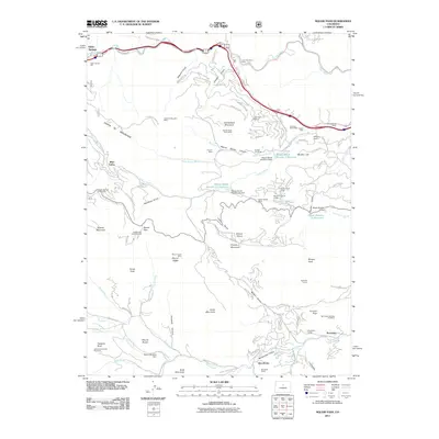
2011 Map of Saddleback Mountain
USGS Topo · Published 2011About this map
Santa Fe Mountain and Saddleback Mountain dominate this Front Range landscape, defining a region where early Colorado mining and ranching interests converged. The presence of numerous extraction sites like the Lucky Strike Mine, Lone Star Placer Mine, and Santa Fe Mountain Mine near Idaho Springs suggests a period of sustained mineral exploration across the high gulches. To the south, the terrain transitions into a series of valleys and meadows, where established ranching properties such as Elmgreen Ranch and Brookvale Ranch are situated along the Bear Creek and Vorice Creek drainages.
Find a feature on this map
103 named features on this map. Tap any name to fly to it.
Don’t see what you’re looking for? This feature index may not catch every label — zoom into the map to look around manually.
Map Details
Editions of this 2011 Saddleback Mountain Map
This is the sole edition of this map. No revisions or reprints were ever made.
Other maps of this area

1899 · West Denver
USGS Topo · 1:125,000

1903 · Georgetown
USGS Topo · 1:62,500

1905 · Central City
USGS Topo · 1:62,500

1905 · Georgetown
USGS Topo · 1:62,500

1906 · Blackhawk
USGS Topo · 1:62,500

1910 · Central City
USGS Topo · 1:62,500

1912 · Central City
USGS Topo · 1:62,500

1942 · Central City
USGS Topo · 1:24,000

1942 · Black Hawk
USGS Topo · 1:24,000

1942 · Ralston Buttes
USGS Topo · 1:24,000