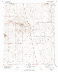
1973 Map of Saddleback Mtn
USGS Topo · Published 1976About this map
Boron Air Force Station dominates the high ground in this section of the Mojave Desert, serving as a primary installation during the Cold War era. The facility is accompanied by specialized infrastructure, including a Radio Facility, Sewage Disposal Ponds, and a dedicated Landing Field. Surrounding this central hub, the vast U S Military Reservation occupies much of the eastern terrain, characterized by a series of landing strips and jeep trails that navigate the arid landscape.
Find a feature on this map
17 named features on this map. Tap any name to fly to it.
Don’t see what you’re looking for? This feature index may not catch every label — zoom into the map to look around manually.
Map Details
Editions of this 1973 Saddleback Mtn Map
This is the sole edition of this map. No revisions or reprints were ever made.
Other maps of this area

1915 · Searles Lake
USGS Topo · 1:250,000

1932 · Barstow
USGS Topo · 1:125,000

1934 · Barstow
USGS Topo · 1:125,000

1937 · Kramer
USGS Topo · 1:48,000

1942 · Kramer
USGS Topo · 1:62,500

1947 · Kramer
USGS Topo · 1:24,000

1947 · Johannesburg SE
USGS Topo · 1:25,000

1947 · Rich
USGS Topo · 1:24,000

1947 · Johannesburg SW
USGS Topo · 1:24,000

1947 · Trona
USGS Topo · 1:250,000