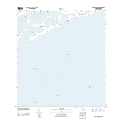
2012 Map of Saddlebunch Keys
USGS Topo · Published 2012About this map
Saddlebunch Keys and the intricate marine environment of Monroe County are depicted in this 2012 survey, showing the transition from sheltered sounds to the open Straits of Florida. The map detail follows the passage of State Road 939 and Sugarloaf Blvd across the keys, connecting scattered residential pockets like those on Bay Dr and Loop Rd. The surrounding waters are defined by complex tidal passages, including the Saddlebunch Number Three Channel and Saddlebunch Number Four Channel, which navigate around Wells Key and into Lower Sugarloaf Sound. Further offshore, the landscape is marked by navigational hazards and aids such as the Ninefoot Shoal Light and Pelican Shoal Light 26. These landmarks, along with named features like West Washerwoman Shoal and Maryland Shoal, illustrate the critical importance of maritime charting in these shallow Florida waters.
Find a feature on this map
22 named features on this map. Tap any name to fly to it.
Don’t see what you’re looking for? This feature index may not catch every label — zoom into the map to look around manually.
Map Details
Editions of this 2012 Saddlebunch Keys Map
This is the sole edition of this map. No revisions or reprints were ever made.
Other maps of this area

1921 · Sugar Loaf Key
USGS Topo · 1:62,500

1943 · Saddlebunch Keys
USGS Topo · 1:24,000

1943 · Boca Chica
USGS Topo · 1:24,000

1943 · Snipe Keys
USGS Topo · 1:24,000

1943 · Sugarloaf Key
USGS Topo · 1:24,000

1968 · Saddlebunch Keys
USGS Topo · 1:24,000
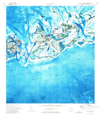
1971 · Boca Chica Key
USGS Topo · 1:24,000

1972 · Loggerhead Key
USGS Topo · 1:24,000
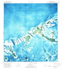
1972 · Snipe Keys
USGS Topo · 1:24,000
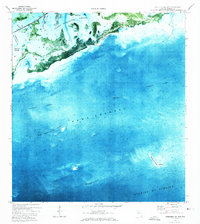
1972 · Saddlebunch Keys
USGS Topo · 1:24,000