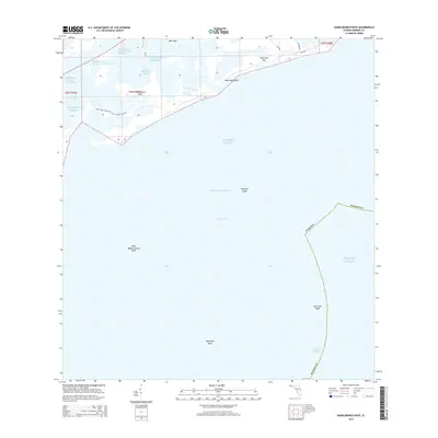
2015 Map of Saddlebunch Keys
USGS Topo · Published 2015About this map
Sugarloaf Key and its surrounding archipelago define this maritime survey of the Florida Keys, where the land fragments into a network of sounds and channels. Navigational markers and hazards dominate the southern waters, including the notable American Shoal and Maryland Shoal along the reef line. The mapping detail highlights the intricate shoreline of Lower Sugar Loaf Key and the sheltered waters of Similar Sound, illustrating the complex geography of the lower keys before significant modern development.
Find a feature on this map
27 named features on this map. Tap any name to fly to it.
Don’t see what you’re looking for? This feature index may not catch every label — zoom into the map to look around manually.
Map Details
Editions of this 2015 Saddlebunch Keys Map
This is the sole edition of this map. No revisions or reprints were ever made.
Other maps of this area

1921 · Sugar Loaf Key
USGS Topo · 1:62,500

1943 · Saddlebunch Keys
USGS Topo · 1:24,000

1943 · Boca Chica
USGS Topo · 1:24,000

1943 · Snipe Keys
USGS Topo · 1:24,000

1943 · Sugarloaf Key
USGS Topo · 1:24,000

1968 · Saddlebunch Keys
USGS Topo · 1:24,000
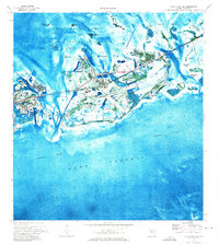
1971 · Boca Chica Key
USGS Topo · 1:24,000

1972 · Loggerhead Key
USGS Topo · 1:24,000
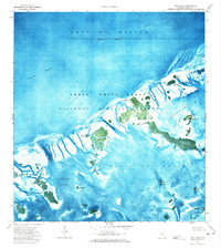
1972 · Snipe Keys
USGS Topo · 1:24,000
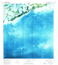
1972 · Saddlebunch Keys
USGS Topo · 1:24,000