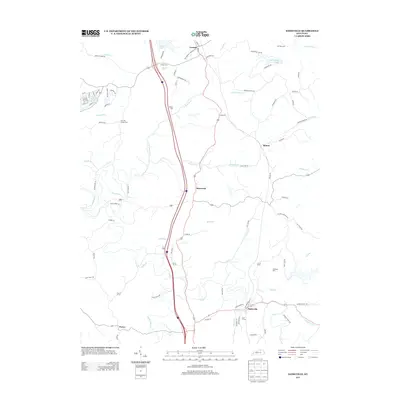
2013 Map of Sadieville
USGS Topo · Published 2013About this map
Sadieville and its surrounding rural landscapes are defined by the winding course of Eagle Cr and a network of secondary roads linking historic community centers. The map documents the local geography of northern Scott County, where small settlements like Hinton and Stonewall sit among a complex drainage system including Mile Run and Elk Lick Br. The presence of several family and community burial sites, such as the Gillespie Cem and Zion Hill Church Cem, offers significant detail for genealogical research in this part of Kentucky.
Find a feature on this map
87 named features on this map. Tap any name to fly to it.
Don’t see what you’re looking for? This feature index may not catch every label — zoom into the map to look around manually.
Map Details
Editions of this 2013 Sadieville Map
This is the sole edition of this map. No revisions or reprints were ever made.
Other maps of this area

1929 · Cynthiana
USGS Topo · 1:48,000

1930 · Falmouth
USGS Topo · 1:48,000

1934 · Cynthiana
USGS Topo · 1:62,500

1936 · Falmouth
USGS Topo · 1:62,500

1939 · Sadieville
USGS Topo · 1:62,500

1950 · Mason
USGS Topo · 1:24,000

1950 · Lawrenceville
USGS Topo · 1:24,000

1953 · Sadieville
USGS Topo · 1:24,000

1953 · Berry
USGS Topo · 1:24,000

1953 · Breckinridge
USGS Topo · 1:24,000