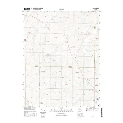
2015 Map of Safe
USGS Topo · Published 2015About this map
The Bourbeuse River and its numerous tributaries, including Coppedge Cr and Cox Br, define this rural landscape on the border of Maries and Phelps Counties. This area is characterized by a high density of family and community burial grounds, such as Rock Spring Cemetery, Matlock Cemetery, and Sellers Cemetery, which reflect the generations of residents who established these small Missouri farmsteads. The settlement of Safe serves as a central point in the northern portion of the map, while the northern edge of Saint James is visible in the southeast corner.
Find a feature on this map
88 named features on this map. Tap any name to fly to it.
Don’t see what you’re looking for? This feature index may not catch every label — zoom into the map to look around manually.
Map Details
Editions of this 2015 Safe Map
This is the sole edition of this map. No revisions or reprints were ever made.
Other maps of this area

1912 · Rolla
USGS Topo · 1:62,500

1928 · Meramec Spring
USGS Topo · 1:62,500

1934 · Redbird
USGS Topo · 1:62,500

1937 · Vienna
USGS Topo · 1:62,500

1938 · Redbird
USGS Topo · 1:62,500

1938 · Vienna
USGS Topo · 1:48,000

1949 · Saint Louis
USGS Topo · 1:250,000

1949 · Vienna
USGS Topo · 1:62,500

1949 · Rolla
USGS Topo · 1:250,000

1949 · Meramec Spring
USGS Topo · 1:62,500