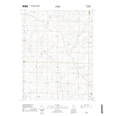
2017 Map of Safe
USGS Topo · Published 2017About this map
Saint James and the surrounding rural landscape of the Maries and Phelps county line are detailed in this 2017 survey. The terrain is defined by a dense network of seasonal and perennial watercourses, including the Bourbeuse River and its many tributaries such as Lanes Fork, Pin Oak Br, and Coppedge Cr. This map is particularly valuable for genealogical research, as it documents numerous family-named burial grounds and small community cemeteries that dot the countryside, including the Rock Spring Cem, Underwood Cem, and Sewell Cem.
Find a feature on this map
92 named features on this map. Tap any name to fly to it.
Don’t see what you’re looking for? This feature index may not catch every label — zoom into the map to look around manually.
Map Details
Editions of this 2017 Safe Map
This is the sole edition of this map. No revisions or reprints were ever made.
Other maps of this area

1912 · Rolla
USGS Topo · 1:62,500

1928 · Meramec Spring
USGS Topo · 1:62,500

1934 · Redbird
USGS Topo · 1:62,500

1937 · Vienna
USGS Topo · 1:62,500

1938 · Redbird
USGS Topo · 1:62,500

1938 · Vienna
USGS Topo · 1:48,000

1949 · Saint Louis
USGS Topo · 1:250,000

1949 · Vienna
USGS Topo · 1:62,500

1949 · Rolla
USGS Topo · 1:250,000

1949 · Meramec Spring
USGS Topo · 1:62,500