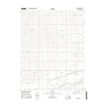
2015 Map of Saffordville
USGS Topo · Published 2015About this map
The Cottonwood River valley defines the southern reach of this Chase County landscape, where the settlements of Saffordville and Ellinor sit along the corridor of Old Hwy 50. This region is characterized by a dense network of drainage creeks, including Buckeye Cr, Bull Cr, and Peyton Cr, which carve through the terrain as they flow toward the river. The section-line road grid, including routes like ZZ Rd and X Rd, provides access to the agricultural uplands surrounding these small prairie communities. To the northeast, Hillside Cem overlooks the junction of E Buckeye Cr and smaller tributaries. The map documents a landscape where traditional rail and highway routes parallel the natural watercourses, illustrating the enduring influence of river valley topography on Kansas transportation and settlement patterns.
Find a feature on this map
39 named features on this map. Tap any name to fly to it.
Don’t see what you’re looking for? This feature index may not catch every label — zoom into the map to look around manually.
Map Details
Editions of this 2015 Saffordville Map
This is the sole edition of this map. No revisions or reprints were ever made.
Other maps of this area

1885 · Eskridge
USGS Topo · 1:125,000

1888 · Emporia
USGS Topo · 1:125,000

1889 · Parkerville
USGS Topo · 1:125,000

1889 · Eskridge
USGS Topo · 1:125,000

1894 · Emporia
USGS Topo · 1:125,000

1894 · Eskridge
USGS Topo · 1:125,000

1894 · Parkerville
USGS Topo · 1:125,000

1898 · Cottonwood Falls
USGS Topo · 1:125,000

1955 · Hutchinson
USGS Topo · 1:250,000

1957 · Strong City
USGS Topo · 1:24,000